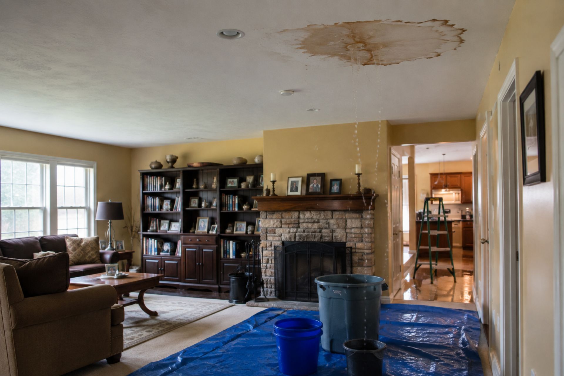

A family in Wilkes-Barre closes on their dream home in March, only to discover three months later that their basement sits squarely in a high-risk flood zone along the Susquehanna River. The repair bill after a summer storm tops $40,000, and their standard homeowners policy doesn't cover a penny. This scenario plays out across Pennsylvania every year, from the Delaware River corridor to the creeks winding through Pittsburgh's suburbs. Knowing how to check if your house is in a flood zone in Pennsylvania isn't just a curiosity exercise: it's a financial safeguard that can save you tens of thousands of dollars. Whether you're buying a new property, refinancing, or simply reassessing your risk, a few free online tools can give you the answers you need in minutes. The state has some of the highest flood claim rates in the country, and flood damage accounts for billions in insured losses annually across the U.S. Pennsylvania consistently ranks among the top states for those claims. Here's exactly how to find your flood risk and what to do with that information.
Using the FEMA Flood Map Service Center
The most authoritative source for flood zone data in the United States is FEMA's Flood Map Service Center, available at msc.fema.gov. This free, publicly accessible tool lets you look up any address in the country and view its official Flood Insurance Rate Map, commonly called a FIRM. These maps form the basis for insurance requirements, building codes, and mortgage lending decisions. Every community that participates in the National Flood Insurance Program relies on these maps.
How to Use the Search by Address Tool
Start by visiting the FEMA Flood Map Service Center and entering your street address in the search bar. The tool will return a map panel showing your property's location relative to designated flood zones. You can zoom in and out, toggle map layers, and click directly on your parcel to see the zone designation printed on the map.
If the map seems outdated or your area has experienced recent development, check for a "Letter of Map Amendment" or "Letter of Map Revision" associated with your address. These documents indicate that FEMA has made changes to the original map based on new survey data or construction. You can also download the full FIRM panel as a PDF for your records, which is useful if you're applying for a mortgage or filing an insurance claim.
Understanding Flood Zone Designations (A, AE, and X)
FEMA assigns letter codes to every mapped area, and these codes directly determine your insurance obligations. Zone A means your property sits in a Special Flood Hazard Area with a 1% annual chance of flooding (often called the "100-year floodplain"), but no detailed hydraulic analysis has been performed. Zone AE carries the same 1% risk, but FEMA has established specific Base Flood Elevations for the area, giving you more precise data about expected water levels.
Zone X is split into two categories. Shaded Zone X (sometimes labeled Zone B) indicates moderate risk, with a 0.2% annual chance of flooding. Unshaded Zone X (or Zone C) represents minimal risk. Properties in Zones A and AE face mandatory
flood insurance requirements if they carry a federally backed mortgage. Zone X properties don't face that mandate, but flooding can still happen there: roughly 25% of all flood claims come from areas outside high-risk zones.
Pennsylvania-Specific Mapping Resources
FEMA maps are the national standard, but Pennsylvania offers its own tools that can provide additional detail, especially for areas where FEMA maps haven't been recently updated.
The PA Flood Risk Tool
The Pennsylvania Department of Conservation and Natural Resources and the state's emergency management agency maintain mapping resources that overlay flood data with state-specific geographic information. The PA Flood Risk Tool integrates FEMA data with state watershed boundaries, dam inundation zones, and historical flood records. This gives you a more complete picture than the federal map alone.
You can search by address or navigate the interactive map to your property. The tool highlights not just FEMA zones but also areas affected by dam failure scenarios, which is particularly relevant in Pennsylvania given the state's roughly 3,400 dams. Some of these tools also show repetitive loss areas, properties that have filed two or more flood claims in a ten-year period.
County and Municipal GIS Maps
Many Pennsylvania counties maintain their own GIS (Geographic Information Systems) portals that layer flood zone data over parcel maps, topography, and aerial imagery. Chester County, Lancaster County, and Allegheny County all offer free public GIS viewers. These local tools often provide the most granular view because they incorporate municipal stormwater management data and local drainage patterns that FEMA maps may not reflect.
To find your county's GIS portal, search for "[your county name] PA GIS map" or check the county's planning department website. These portals let you click directly on a parcel and see its flood zone, zoning classification, and sometimes even elevation certificates filed by previous owners.
High Risk vs. Moderate Risk: Comparing Flood Zones
Understanding the difference between high-risk and minimal-risk zones shapes every decision you'll make about insurance, renovations, and even whether to buy a particular property.
Comparison Table: Special Flood Hazard Areas vs. Minimal Risk Zones
| Factor | Special Flood Hazard Area (Zones A, AE) | Minimal Risk (Zone X Unshaded) |
|---|---|---|
| Annual Flood Chance | 1% or greater | Less than 0.2% |
| Flood Insurance Required? | Yes, for federally backed mortgages | No, but recommended |
| Average Annual Premium | $800 - $1,500+ | $400 - $700 (Preferred Risk) |
| Building Restrictions | Must meet floodplain construction standards | Standard building codes apply |
| Impact on Resale | May reduce buyer pool | Minimal impact |
| Elevation Certificate Needed? | Typically yes | Usually no |
Properties in moderate-risk zones (shaded Zone X) fall somewhere between these two categories. They don't trigger mandatory insurance requirements, but lenders sometimes recommend coverage. If you're in shaded Zone X, you can often get a Preferred Risk Policy through the NFIP at a lower premium.
Why Your Pennsylvania Flood Zone Matters
Your flood zone designation affects far more than just your insurance bill. It touches your mortgage terms, your ability to renovate, and the long-term value of your property.
Mandatory Insurance Requirements for Mortgages
If your property falls within a Special Flood Hazard Area and you have a mortgage from a federally regulated or insured lender, you're required to carry flood insurance for the life of the loan. This isn't optional, and your lender will verify your zone designation during the closing process. If you let coverage lapse, the lender can force-place a policy on your behalf, often at two to three times the cost of a standard NFIP policy.
The National Flood Insurance Program offers coverage up to $250,000 for residential structures and $100,000 for contents. For higher-value homes, private flood insurance markets have expanded significantly and may offer broader coverage or higher limits. Flood insurance premiums have been shifting under FEMA's Risk Rating 2.0 methodology, which prices policies based on individual property risk rather than broad zone categories.
Impact on Property Value and Building Regulations
Being in a high-risk flood zone can reduce your property's market value by 5% to 15%, depending on the area and buyer perception. Buyers factor in the ongoing cost of mandatory insurance and the hassle of floodplain building requirements. If you plan to renovate or add onto a home in a Special Flood Hazard Area, Pennsylvania's floodplain management regulations require that any substantial improvement (costing 50% or more of the structure's market value) must bring the entire building into compliance with current floodplain standards. That often means elevating the structure above the Base Flood Elevation.
Pennsylvania home sellers are
legally required under HB 1704 to disclose a property's flood history, FEMA zone designation, and whether flood insurance has ever been carried on the property. This disclosure requirement protects buyers but also means sellers can't hide flood risk.
Common Questions About Pennsylvania Flood Risks
Does standard homeowners insurance cover flood damage in PA?
No. Standard homeowners policies in Pennsylvania exclude flood damage entirely. You need a separate flood insurance policy, either through the NFIP or a private insurer. This applies regardless of your flood zone designation.
How often are the Pennsylvania flood maps updated?
FEMA updates flood maps on a community-by-community basis, and there's no fixed schedule. Some Pennsylvania communities have maps that are over 20 years old, while others were revised within the last few years. You can check for pending map changes through FEMA's Flood Map Service Center.
What if my house is only partially in a flood zone?
If any portion of your home's footprint falls within a Special Flood Hazard Area, lenders will treat the entire property as being in a high-risk zone. You'll still need flood insurance for the mortgage. You may be able to request a Letter of Map Amendment if a survey shows your structure sits above the Base Flood Elevation.
Can I dispute my home's flood zone designation?
Yes. If you believe your property was incorrectly mapped, you can apply for a Letter of Map Amendment or Letter of Map Revision through FEMA. You'll need an elevation certificate prepared by a licensed surveyor showing that your property's lowest adjacent grade or lowest floor is at or above the Base Flood Elevation. The process typically takes 60 to 90 days.
How do I find out if a PA property has flooded before?
Pennsylvania's
seller disclosure requirements under HB 1704 mandate that sellers report known flood history. You can also check FEMA's repetitive loss data, contact your local floodplain administrator, or request claims history through the NFIP. County emergency management offices sometimes maintain historical flood records as well.
Protecting Your Home Beyond the Map
Checking your flood zone is the first step, not the last. Even if your property sits in a minimal-risk Zone X, Pennsylvania's geography, with its aging infrastructure, steep terrain, and heavy rainfall patterns, means flood risk can shift over time. New development upstream, changes in stormwater management, or a single severe storm can turn a low-risk area into a flooded basement.
Get an elevation certificate for your property even if one isn't required. This document, prepared by a licensed surveyor, gives you precise data about your home's elevation relative to the Base Flood Elevation and can help you secure lower insurance premiums. Consider purchasing flood insurance regardless of your zone: NFIP Preferred Risk Policies for low-risk areas can cost as little as a few hundred dollars per year.
Review your risk annually. Check FEMA's map service for pending revisions, talk to your local floodplain administrator about upstream development, and make sure your seller disclosure documents are accurate if you plan to list your home. The cost of a flood insurance policy is a fraction of what a single flood event can do to your finances. A few minutes of research now can prevent a six-figure headache later.
Search
Latest Posts